About GeoJavi
Whether you are just beginning your journey with Geographic Information Systems (GIS) or looking to improve the way your organisation uses spatial data, GeoJavi is here to help. My goal is to make GIS accessible, practical, and useful for everyone—no matter your experience level.
About me (Javi)
My name is Javi, and I am the creator of GeoJavi. I have over 10 years of experience working with GIS, particularly with QGIS, in both the public and private sectors in the UK. During my career, I have supported teams with a wide range of backgrounds—from environmental science and remote sensing, community groups, and business services. I understand that not everyone using GIS is a specialist, and I believe that tools like QGIS should empower people, not frustrate them.
What I Offer
At GeoJavi, I provide QGIS training and support that is tailored to your needs. Rather than delivering generic lessons, I work closely with you to understand how you use data in your day-to-day work. This allows us to build training sessions that are relevant, practical, and immediately useful.

My services include
- QGIS Training (Beginner to Advanced) Learn how to work confidently with data, create maps, analyse patterns, and produce outputs you are proud of.
- Map Design & Cartography Turning data into maps that are clear, attractive, and easy to understand.
- Workflow & Process Automation Using Open-Source Tools Save time and reduce repetitive tasks by automating processes and data management.
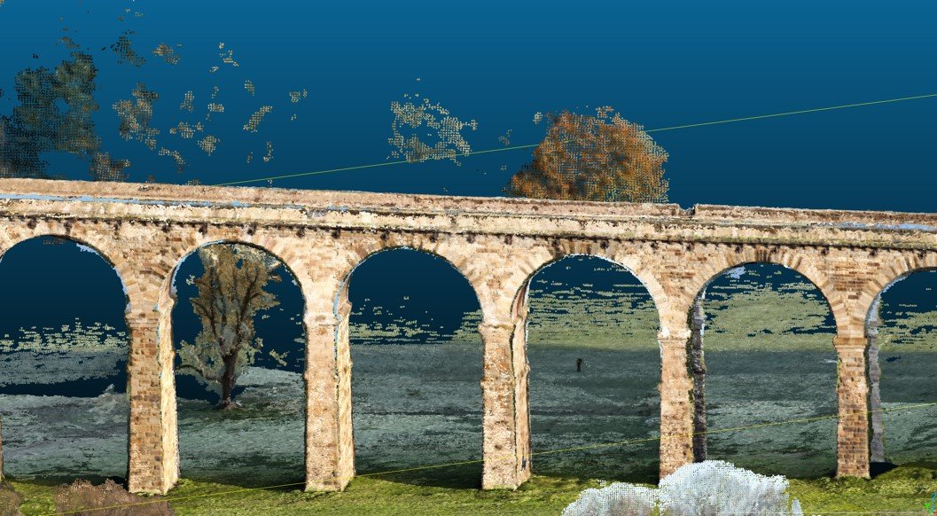
- LiDAR Data Processing with Open-Source Tools From downloading and preparing LiDAR to extracting terrain models, building surfaces, or analysing landscapes.
- GIS Consultancy & Project Support Whether you need long-term guidance or help with a specific project, I can work alongside your team.
- Spatial Databases and Data Management Helping you organise your data so it is reliable, efficient, and easy for teams to use.
Why Work With GeoJavi?
What makes GeoJavi different is the personal approach. I understand that every organisation has different goals, workflows, and levels of experience. My training is always:
- Practical – focused on real tasks you need to solve
- Clear and friendly – no unnecessary jargon
- Flexible – we learn at your pace
- Open-source based – no expensive software licenses needed
- I believe in sharing knowledge and building confidence. GIS should feel like a useful tool, not a barrier.
Let’s Work Together
If you need support with QGIS, mapping, or spatial data—but don’t know where to start—I’m here to help. Whether it’s a one-to-one session, a workshop for your team, or assistance with a project, we will build a solution that works for you.
Feel free to explore the site, get in touch, and let’s talk about how GeoJavi can support your GIS journey.
