GeoJavi

  • Home
  • Services
  • Blog

Blog

GeoJavi Blog

  • Welcome to GeoJavi: Personalised QGIS Training & GIS Support Tailored to You

    Welcome to GeoJavi: Personalised QGIS Training & GIS Support Tailored to You

    About GeoJavi Whether you are just beginning your journey with Geographic Information Systems (GIS) or looking to improve the way…
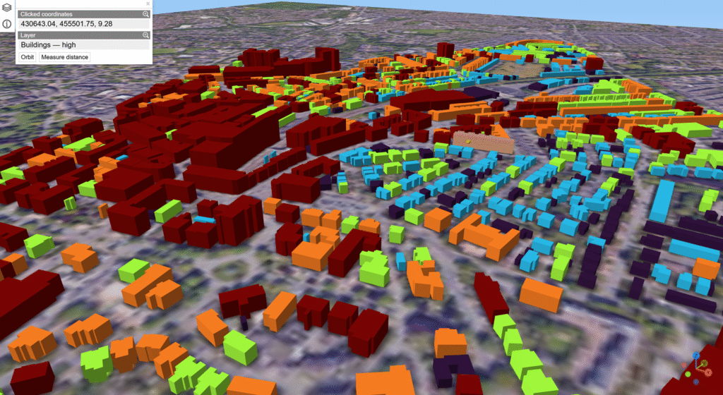
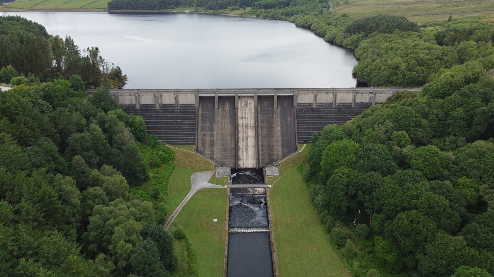
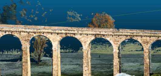
    10/28/2025

Gallery

Explore our diverse GIS projects and insights.

An aerial view of a landscape featuring a combination of agricultural fields, forested areas, winding roads, and a large body of water, possibly a lake or reservoir. The view captures a mosaic of different shades of green and brown, indicating varied land use and topography.
3D city map showing buildings color-coded by height using red, orange, green, blue, and purple blocks over a satellite base map.
A tripod-mounted surveying instrument is prominently placed in the foreground, with a large construction site visible in the background. Tall cranes and unfinished buildings indicate ongoing construction work, set against a clear blue sky.
A grassy landscape with a blue signpost featuring a yellow arrow pointing left and a symbol of a scallop shell, indicating a direction. Fields of crops and a line of trees are visible under a partly cloudy sky.
A detailed map is displayed on a standing sign surrounded by lush green foliage. The map seems to outline a project related to a natural area, with various sections marked in bright colors such as green and pink. Tall bushes and trees are visible, creating a serene, natural environment.
A large concrete dam holding back a reservoir surrounded by green hills and trees in Yorkshire.

Menu

  • Home
  • Services
  • Blog

Contacts

contact@geojavi.com

Socials

  • LinkedIn

© 2025 GeoJavi. All rights reserved.

Notifications